Article by Bryan Paul Robert, Mahidhar Chellamani, and Jyotirmoy Dutta: “For years, some of India’s most valuable geospatial datasets remained scattered across government departments, research institutes, or private organizations. They held immense potential to transform logistics, strengthen climate resilience, and support smarter urban planning, but they remained difficult to access, buried in different formats and lacking interoperability.
Recognizing this challenge, the Government of India through the Department of Science and Technology (DST) tasked the Centre of Data for Public Good (CDPG) at the Indian Institute of Science (IISc) with a bold vision: to develop a standards-based geospatial data exchange platform. The result was the Integrated Geospatial Data Exchange Interface (GDI) – a unified, open-access system built on OGC APIs, designed to make metadata-rich, analysis-ready geospatial data available for application developers, researchers, startups, and policymakers alike…
Designed to treat publicly funded geospatial data as a common good, GDI has established itself as a unified, open-access platform for interoperable, consent-based, analysis-ready, and metadata-rich data exchange using globally accepted standards. As a contribution to the third layer of the India stack, it enables seamless sharing of geospatial data, accelerating applications in data science and empowering developers.
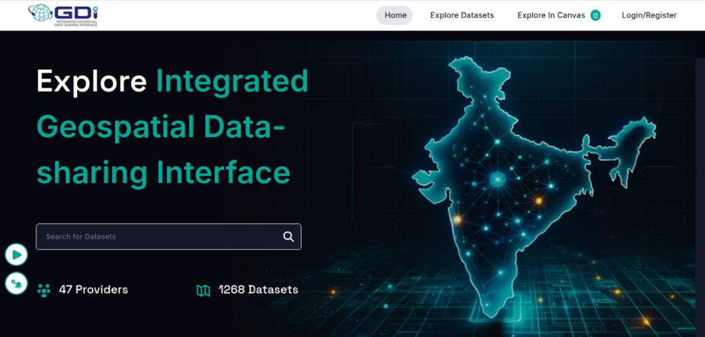
GDI catalogue (catalogue.geospatial.org.in)
Unlike traditional open data portals, GDI emphasizes secure, consent-based data sharing, where data providers retain control over how their datasets are accessed and used. Robust auditing mechanisms ensure transparency and accountability, while an integrated analytics engine allows users to derive insights without always downloading raw datasets. The platform is also capable of onboarding large volumes of data and supports fine-grained access control for different user groups. By adhering to OGC standards, GDI ensures interoperability and fosters collaboration by allowing value-added services like data fusion, visualization, and application development. In doing so, it functions not just as a data exchange platform but as an ecosystem that drives trust, innovation, and responsible use of geospatial data.
To achieve these goals, CDPG developed a new GIS server based on the latest OGC REST APIs with the Intelligent Universal Data Exchange (IUDX) platform at its core – a technology stack developed in-house…(More)”